Home
Blogs
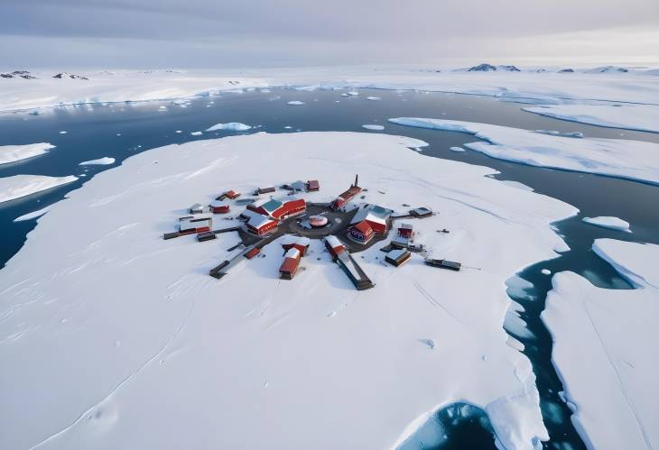
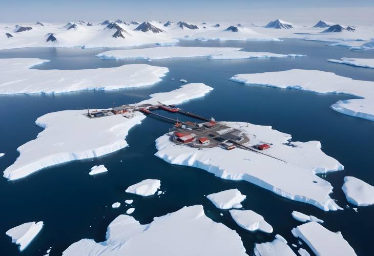
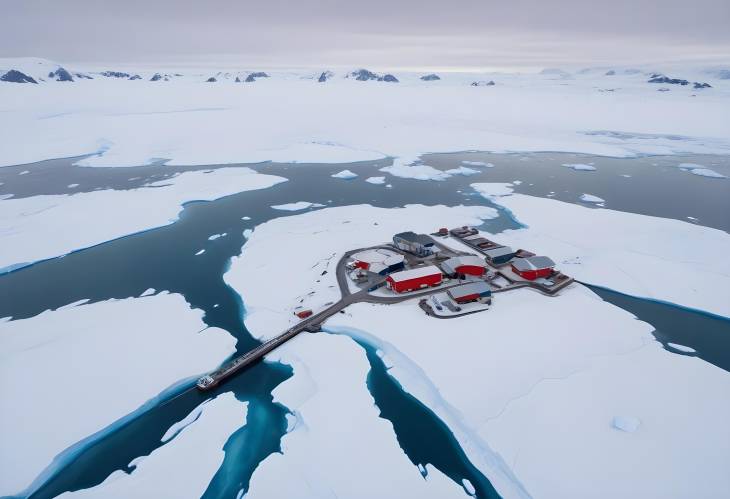
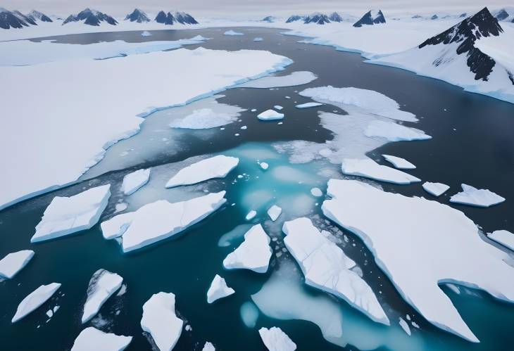
Aerial Drone View of Vernadsky Base at the South Pole
38
0
4k-image
aerial drone view
Vernadsky Base
South Pole
Antarctic station
open water surface
ocean coast
South Pole base
Antarctic landscape
drone flight
icy terrain
polar research
scientific facility
frozen coast
remote base
polar environment
ice-covered research station
cold climate
Antarctic exploration
winter landscape
ice floe
Antarctic ice
research station
ice and snow
remote research site
southern ocean
frozen base
extreme cold
Antarctic continent
ice sheet
polar expedition
icy waters
frigid research
Antarctic environment
southern research base
glacial ice
icy landscape
research expedition
ice-bound station
ice-covered terrain
Antarctic study
base in ice
polar study
Antarctic scientific research
cold research environment
ice shelf
southern ice cap
polar research station
frozen research
Antarctic coast
45+
Free Download
Size:
672.70 KB
File:
4864x3328px
/
jpg
License:
Free
Creator
Adnan Butt
Share
Similar Images
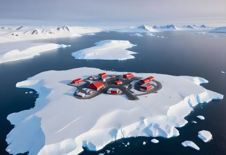
South Pole Vernadsky Base and Glacial Ice Coastal View
4k-image
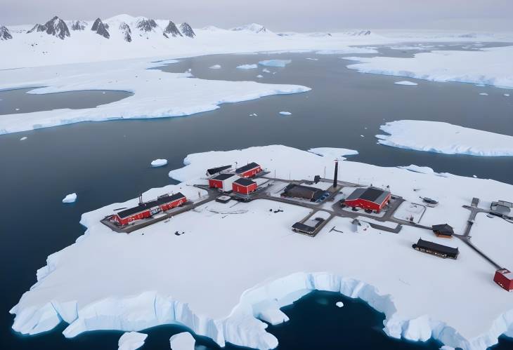
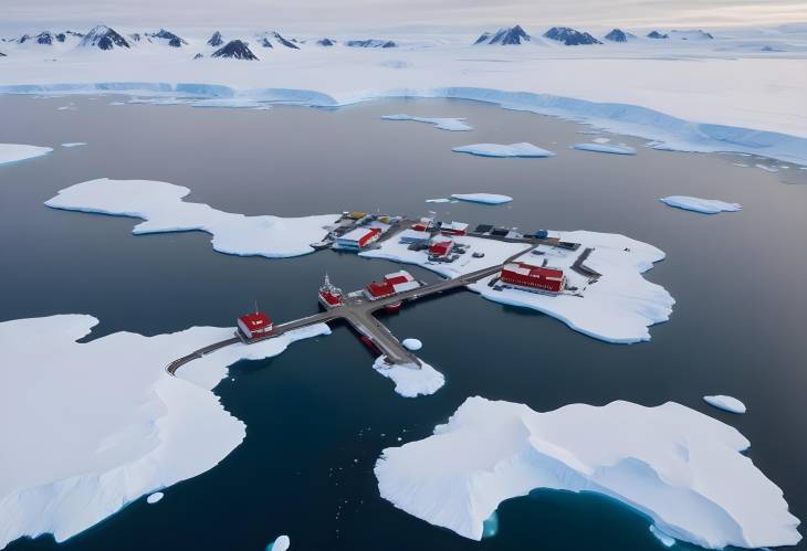
Drone Aerial View of South Polar Vernadsky Base and Icy Coastline
4k-image
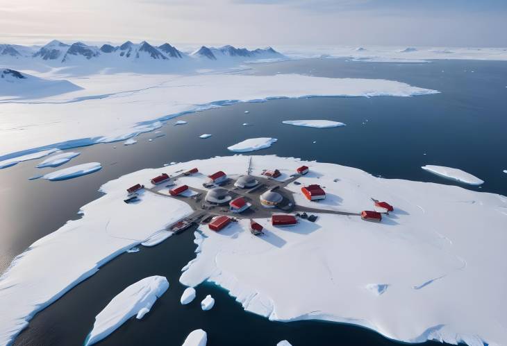
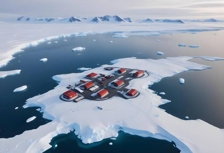
South Polar Vernadsky Base and Coastal Icebergs Aerial View
4k-image
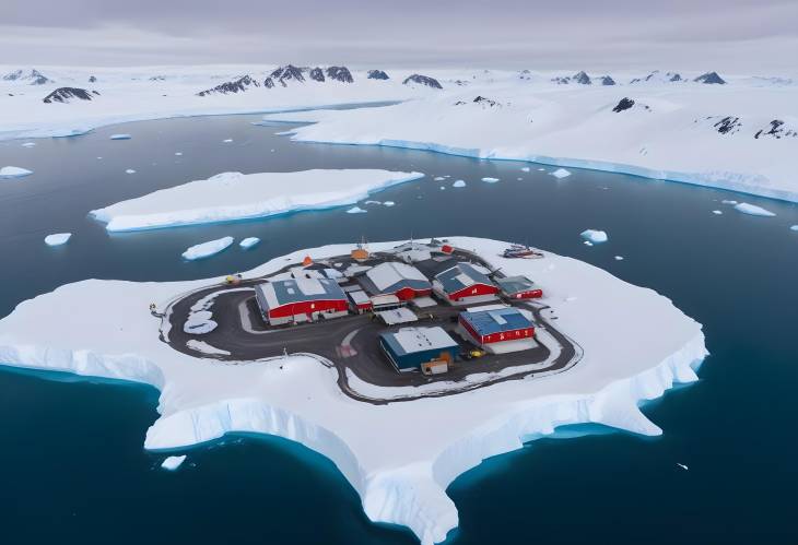
Aerial View of Vernadsky Base South Pole with Icy Ocean Coast
4k-image
Vernadsky Base South Polar Station with Icy Coastline Aerial
4k-image
Drone Flight Over Vernadsky Base South Polar Station and IceCovered Coast
4k-image
Vernadsky Base Drone View of South Polar Antarctic Station
4k-image
Aerial View of South Polar Vernadsky Base and Ice Covered Coast
4k-image
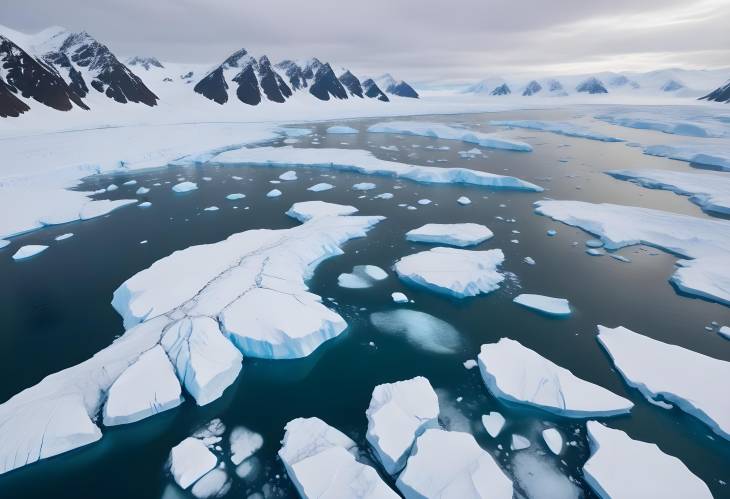
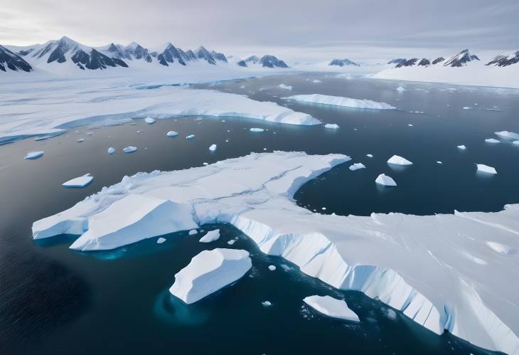
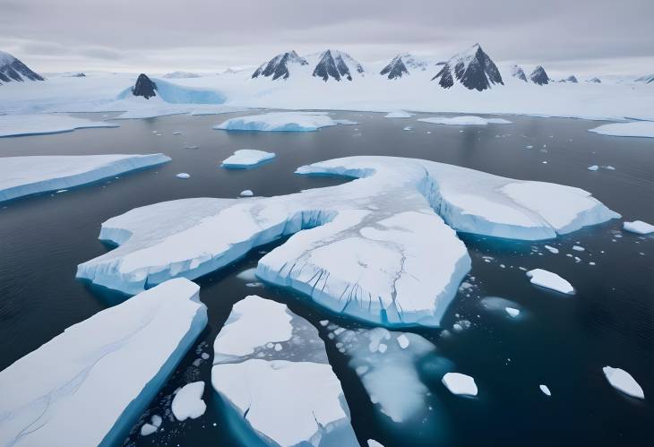
Melting Icebergs in Polar Ocean Crashed Ice on Antarctic Coastline with Winter Glacier
nature
glacier
Antarctica
Polar Ocean and Crashed Ice Antarctic Coastline with Melting Icebergs and Winter Glacier
nature
icebergs
Antarctica
Aerial Drone View of Crashed Ice Melting Icebergs in Polar Ocean Coastline of Antarctica
nature
icebergs
Antarctica
Crashed Ice and Melting Icebergs Aerial View of Polar Ocean Coastline in Antarctic Winter
nature
icebergs
Antarctica